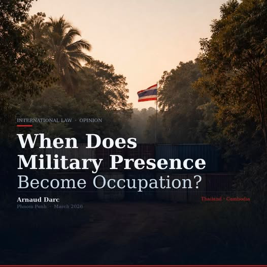
TL;DR: Shipping containers. Barbed wire. A Thai flag flying over a blocked road inside Cambodia. Sixty-five thousand civilians who can’t go home. At what point does a military position become an occupation? International law has an answer. Nobody is asking the question.
When Does Military Presence Become Occupation?
Border conflicts usually begin with arguments about who fired first. They move to competing maps, rival histories, and national grievances.
But eventually a different question emerges: What happens when military forces remain on contested land after the fighting stops?
That question now hangs over the Thailand–Cambodia border.
On December 27, 2025, Thailand and Cambodia signed a ceasefire after weeks of clashes that included airstrikes, artillery exchanges and ground combat across several sectors of their disputed frontier. The agreement required both sides to halt hostilities and refrain from reinforcing military infrastructure beyond their own lines.
The ceasefire stopped the fighting. It did not resolve the dispute. Instead, it appears to have frozen the battlefield.
The Legal Standard
The relevant framework is not obscure. Article 42 of the 1907 Hague Regulations states that territory is considered occupied when it is “actually placed under the authority of the hostile army.” The International Committee of the Red Cross identifies three conditions: the presence of foreign forces without the territorial state’s consent; their capacity to exercise authority over the area; and the inability of the local sovereign to do the same.
The International Court of Justice confirmed this interpretation in its 2005 ruling in Armed Activities on the Territory of the Congo. The Court held that occupation requires neither annexation nor formal administration — only effective control. Uganda argued its troops were conducting defensive border operations. The Court disagreed.
The parallel to current Thai arguments is not incidental.
What the Evidence Shows
Since the ceasefire, journalists from Al Jazeera have filmed Thai troops guarding container barricades inside Chouk Chey village. Satellite imagery analysed by the Cambodian rights organisation LICADHO, using Sentinel-2 data from late December and early January, showed the progressive clearing of civilian structures in the same area over several weeks.
Cambodian provincial officials report that containers, trenches and barbed wire now block access to villages and agricultural land across Banteay Meanchey, Oddar Meanchey and Preah Vihear provinces. Humanitarian organisations say tens of thousands of civilians remain unable to return home.
Thai authorities do not deny maintaining these positions. Their argument is that forces remain on Thai sovereign territory or within deployment zones agreed during ceasefire negotiations. Both positions may be sincerely held. Neither can be verified without independent examination.
In at least one location, independent mapping suggests the picture may be clearer. LICADHO’s analysis indicates container barriers near Boeung Trakuon were placed several hundred metres east of lines previously recognised by both governments as Cambodian territory — a finding based on satellite imagery with acknowledged limitations, but one that has not been publicly challenged by Thai authorities.
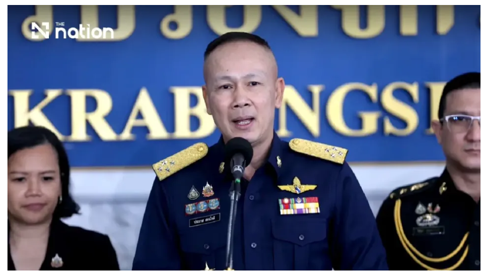
Thai military sources have themselves described their approach as “advance–seize–hold.” In late December comments reported by Nation Thailand, General Chaiyapruek Ditsakul outlined a strategy of securing territory and establishing buffer zones through trenches and defensive fortifications while negotiations continue.
Uganda made similar arguments in eastern Congo. The ICJ was not persuaded.
Complicating Evidence
One point deserves acknowledgment. Satellite analysis by CamboJA News has also shown Cambodian forces constructing trench networks on their side of contested lines at Thmor Da after the ceasefire. This does not resolve the central question — digging defensive positions on territory a state claims is legally distinct from exercising authority beyond recognised lines — but it confirms that the post-ceasefire situation is more complex than a simple occupier-occupied narrative.
Why the Question Is Live
The Thailand–Cambodia border remains only partially demarcated. Without agreed coordinates, sovereignty cannot be determined by assertion alone. If forces are later confirmed to stand on the wrong side of a completed boundary, international humanitarian law imposes clear obligations: protection of civilians, restrictions on property destruction, limits on altering the character of the territory.
Those obligations, the ICJ has confirmed, arise from facts on the ground — not from declarations of intent.
ASEAN diplomacy helped prevent further escalation. But dialogue without verification does not establish facts. It postpones them. History offers little reassurance: the 1974 ceasefire in Cyprus became a partition that endures today; successive ceasefires in Nagorno-Karabakh froze competing claims for decades. In each case, the longer positions remained unexamined, the more permanent they became.
What Would Resolve It
Three steps could establish the facts necessary for resolution — none of which prejudges sovereignty.
First, accelerated completion of boundary demarcation through the Joint Boundary Commission. Second, independent verification of current troop positions relative to recognised boundary lines. Third, a monitored framework allowing displaced civilians to return safely while negotiations continue.
A state confident in the legality of its military positions has little reason to resist verification.
The question of whether Thai forces currently stand on Thai or Cambodian ground cannot be answered by political assertion. It can only be answered by measurement.
By Arnaud Darc